On July 16, 1790, George Washington signed into law the Residence Act, effectively laying the foundations of our nation’s capital. The Founding Fathers inserted a provision into the Constitution granting Congress the power to establish a federal district “not exceeding ten miles square” in order to house the Government of the United States.
The location of the district became a contentious point between the Northern and Southern States until a compromise was reached.
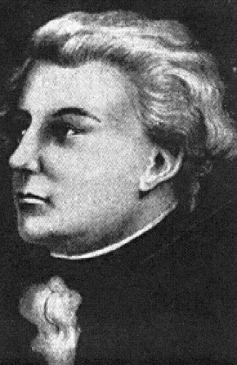
President George Washington appointed Peter Charles L’Enfant (a French born architect) to design the new capital city. After L’Enfant drew the original city plans, he was fired without compensation. The initial plans were modified by subsequent designers but L’Enfant’s vision and overall grandiose scheme remained.
 In 1825, Peter L’Enfant died in relative poverty and in obscurity. Jean Jules Jusserand in his book With Americans of Past and Present Days told us that L’Enfant left behind worldly possessions valued at forty-six dollars.
To put things in perspective, a boxer like Floyd Mayweather* is on record for earning $85 million. He did this in two fights, but then again…who was L’Enfant?
* To read about opportunity for all in America: Mayweather’s big win is covered in Forbes where he is given a success ranking according to his wealth http://www.forbes.com/profile/floyd-mayweather/
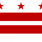
Fact file in one click:
(as found on Wikipedia)
Motto: Justitia Omnibus (Justice for All)
Location of Washington, D.C., in the United States and in relation to the states of Maryland and Virginia.
Coordinates: 38°53′42.4″N 77°02′12.0″WCoordinates: 38°53′42.4″N 77°02′12.0″W
Country United States
Federal district District of Columbia
Approved July 16, 1790
Organized 1801
Consolidated 1871
Granted limited self-government 1973
Named for George Washington
Government
• Mayor Vincent C. Gray (D)
• D.C. Council Phil Mendelson (D), Chairman
Area
• Federal district 68.3 sq mi (177.0 km2)
• Land 61.4 sq mi (159.0 km2)
• Water 6.9 sq mi (18.0 km2)
Elevation 0–409 ft (0–125 m)
Population (2011 estimate)[1][2]
• Federal district 617,996 (24th city in U.S.)
• Density 10,065/sq mi (3,886/km2)
• Metro 5.58 million (7th in U.S.)
• Demonym Washingtonian
Time zone EST (UTC-5)
• Summer (DST) EDT (UTC-4)
ZIP code(s) 20001-20098, 20201-20599
Area code(s) 202
Website www.dc.gov


Speak Your Mind